Unlocking mineral potential through gravity anomalies
High-density minerals and associated material often cause positive gravity anomalies.
Gravity measurements have been used for prospect-scale mapping of shallow mineable deposits for decades. Dense minerals such as gold, lead, porphyry copper, iron or metal sulfides can cause local increase in gravity at the surface above. The method has been successfully used in many places, often together with other geophysical methods and geological insight. Good examples are described in Dentith and Mudge (2014).
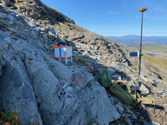
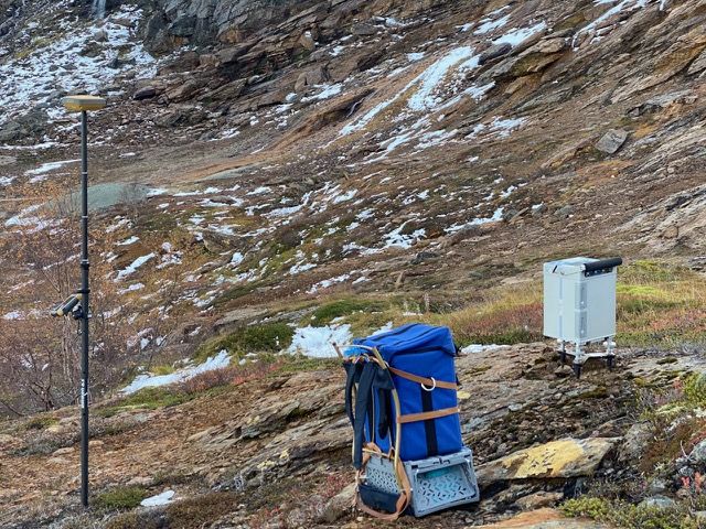
Gravity surveys are relatively inexpensive compared to other exploration methods. Most such surveys are done traditionally with measurements on the ground and typically 50 – 200 m station spacing. Due to improvements in gravimeters like Scintrex CG-6, in positioning (GNSS, in Norway also CPOS) and in data processing, more precise gravity maps can be acquired with a one person crew having lower cost than in the past. Airborne gravity and gravity gradiometry surveys are possible to carry out, but these are less precise for detailed mapping and therefore more suitable at a regional scale.
We expect increasing use of gravity mapping in the search for the minerals, which society will need. Quad Geometrics has successfully and effectively carried out two large surveys in the Norwegian mountains, at Kjøli and Skorovatn, using state-of-the art instruments and data processing.