1996 Ola Eiken conceived the idea of offshore gravity monitoring for gas fields. Together with Mark Zumberge, a way of carrying out a time-lapse gravity program was envisioned, and patent applications were submitted.
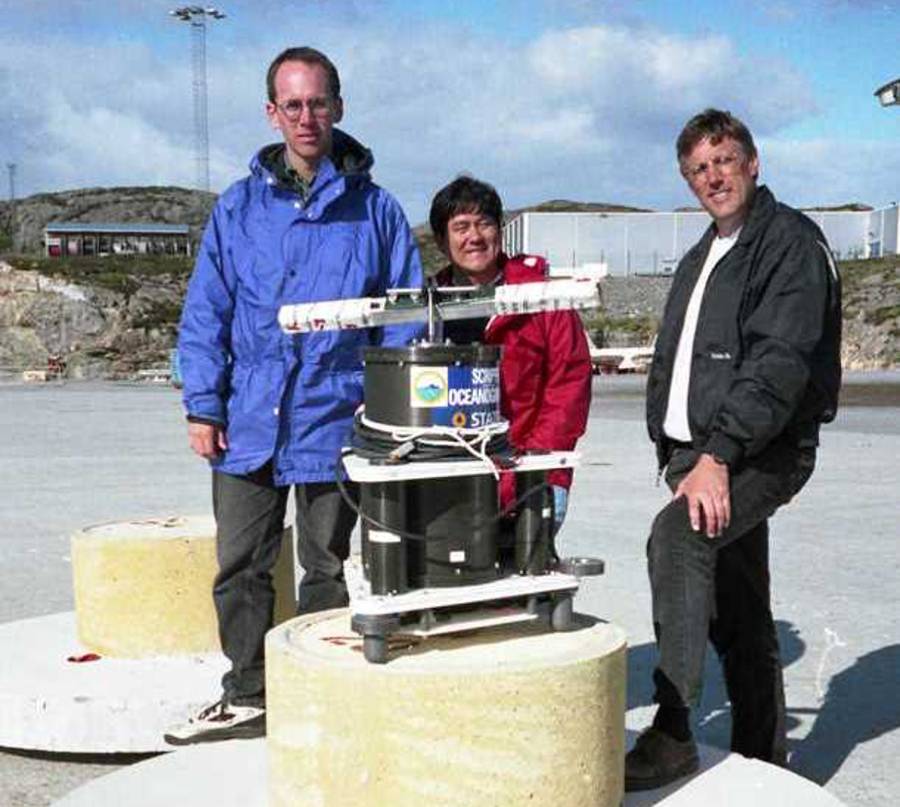
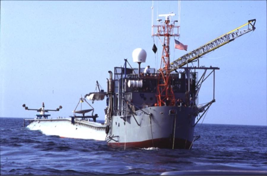
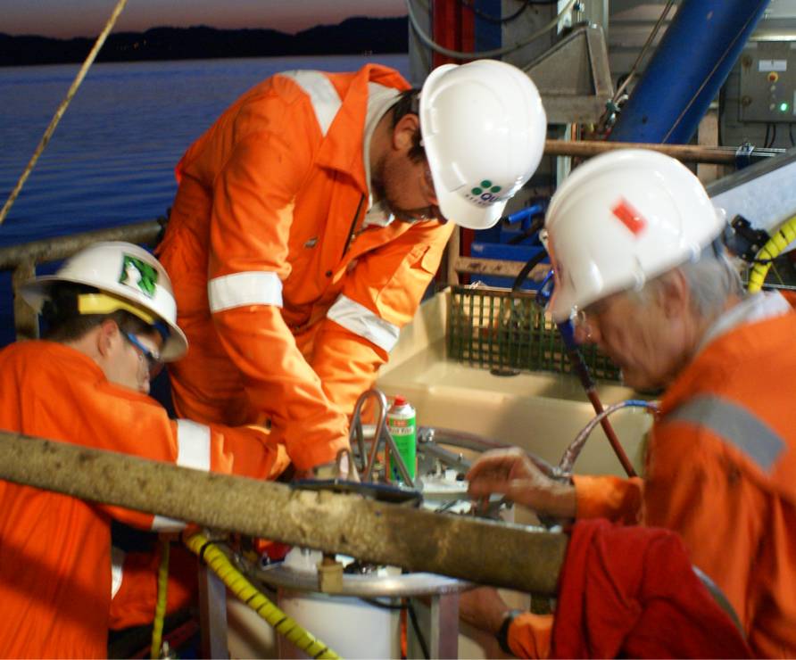
1998 The first version of ROVDOG (Remotely Operated Vehicle Deep Ocean Gravimeter) was build by Mark Zumberge and co-workers at Scripps Institution of Oceanography, and a survey was performed on the Troll field in the North Sea.
1999 The first patent on the gravity survey method was granted.2000 The first repeat survey on the Troll field proved sub-cm resolution in seafloor subsidence
2002 The third Troll survey was a breakthrough in gravity precision, with <4 µGal repeatability.
2003 The paper A new sea-floor gravimeter on the method received best paper award in the journal Geophysics.
2005 The first repeat Sleipner survey proved the applicability of gravity surveys to CO2 storage.
2006 The first surveys were carried out on the Midgard and Mikkel gas fields, of much smaller size and gas volumes than Troll. Simultaneous gravity and seismic data acquisition without interference or delay to either operation.
2006 The first gravity survey for undersea minerals was performed off Papua New Guinea in the Bismark Sea for Nautilus Minerals.
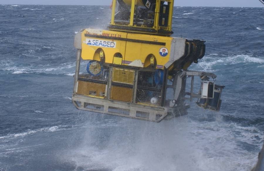
2009 Significantly increased operational speed by using the new-built ROV vessel (“Seabed Worker”). Consequential improved precision and lower survey cost.
2010 Reservoir model on Midgard field based on the 2009 repeat gravity data predicted water breakthrough in a gas well – which occurred shortly after.
2011 Quad Geometrics is established as a commercial spin-off from the Scripps Institution of Oceanography.
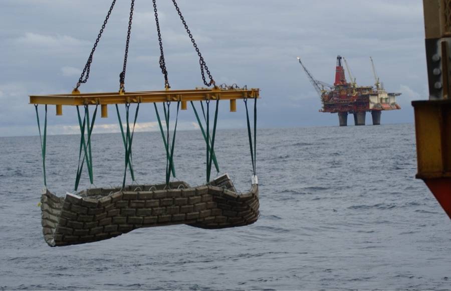
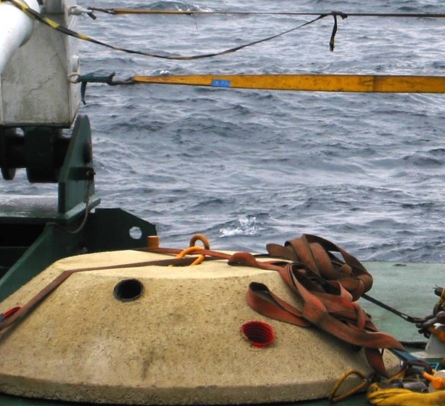
2012 The largest measurement campaign to date is carried out, comprising 5 fields and nearly 1000 measurements. Concrete mats for scour protection was tried at the Statfjord field.
2013 Quad Geometrics Norway is established to provide a full complement of services for offshore reservoir monitoring using time-lapse gravity and height measurements. The 25th survey in 15 years is conducted by Quad personnel without a single injury.
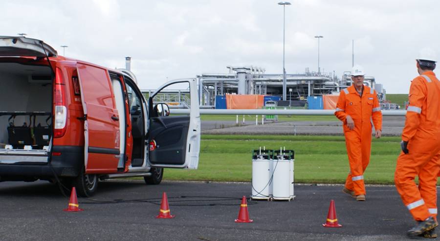
2015 First onshore microgravity survey using Quad’s technology is carried through over the giant Groningen gas field in the Netherlands.
2015 Launch of the Attrack software package, version 1.0. Build from scratch but based on long data experience.
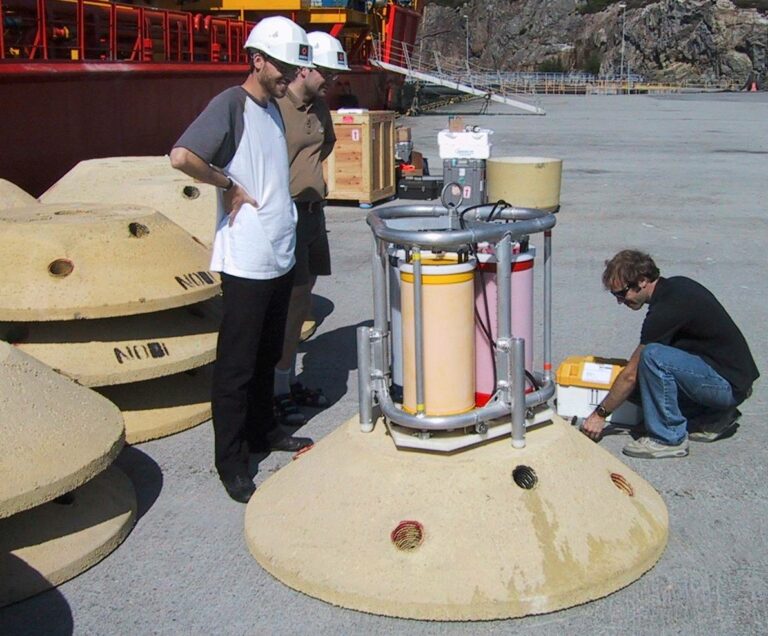
2017 ROVDOG III.5 development completed. The first survey using this new instrumentation is carried through at the Troll field, with best ever precision.
2019 Onshore gravity reprocessing of 6 surveys in Oman using the proprietary Attrack software. Significantly improved results.
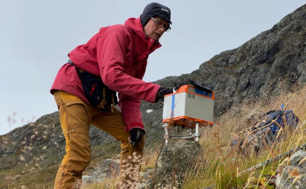
2021 The first land gravity survey for mineral exploration carried out in the Norwegian mountains using light-weight equipment (gravimeter and GNSS navigation) and the Attrack software.
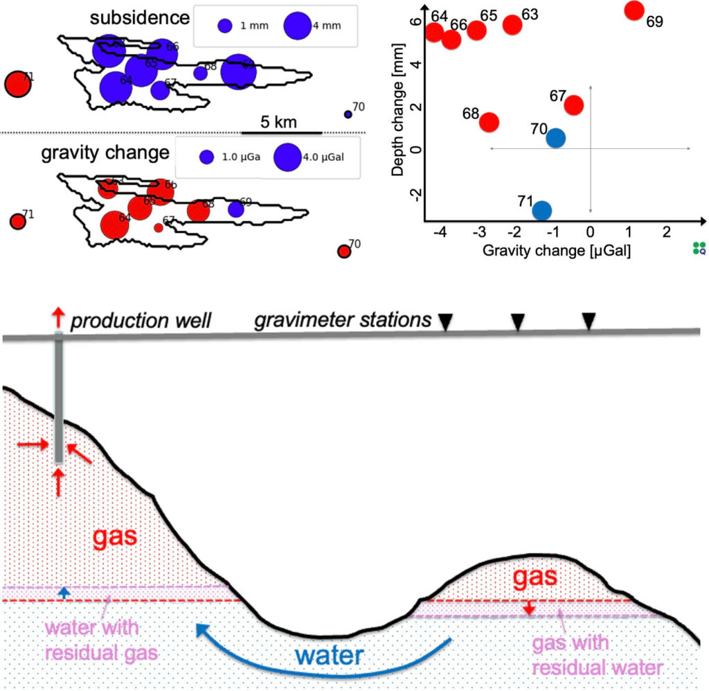
Data re-processing of 8 gravity and subsidence surveys over 14 years from the North Sea Snøhvit and Midgard gas fields for Equinor, resulting in improved data quality and time-lapse changes.

Survey planning, data acquisition QC, data processing, re-processing of gravity data in Oman